GIZ Bioclime’s Support for Forest Fire Management in South Sumatra
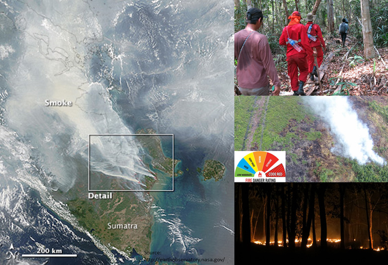
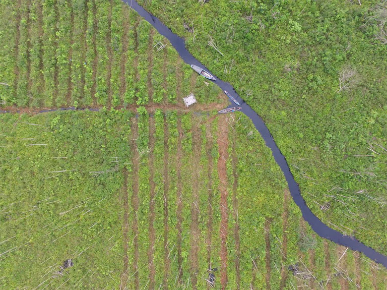
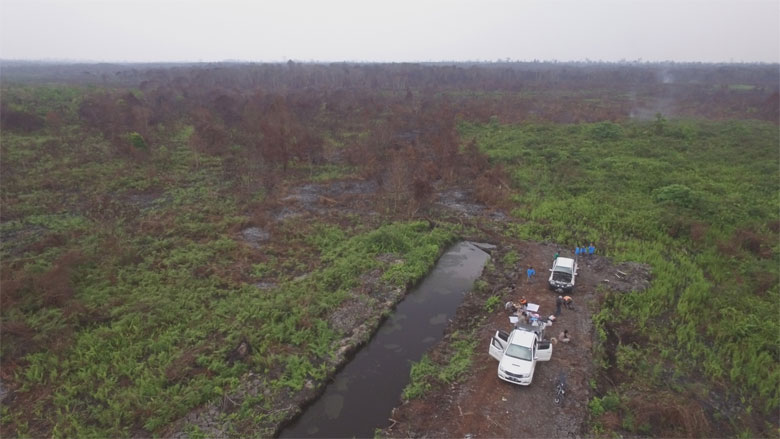
GIZ Bioclime and partners have calculated the total area burned or burning in South Sumatra as middle of October 2015 to be almost 240,000 hectares, or as larga as the area burned last year (data per December 2014). The likelihood of fires becoming more widespread has been predicted based on information from the Meteorological and Geophysics Agency (BMKG), which has stated that El Niño conditions will persist up until December 2015. This phenomenon will impact on the length of the dry season and affect the condition of fire-prone peatlands. This is highly worrying as 90% of the areas now burning constitute peatland ecosystems from an overall total of 1.2 million hectares of peatlands in South Sumatra. The burning peatland areas are distributed across the districts of Banyuasin, Musi Banyuasin and Ogan Komering Ilir.
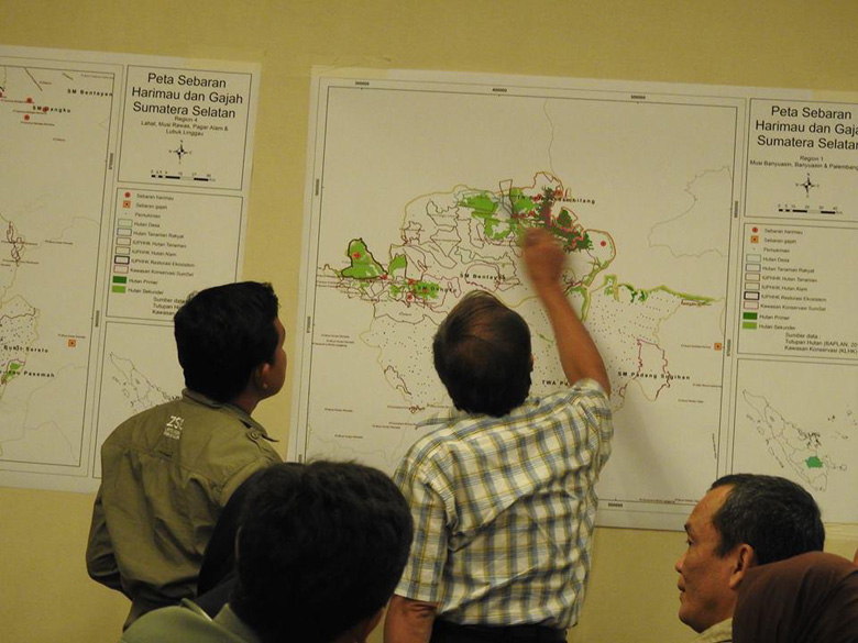
GIZ Bioclime, in cooperation with forestry offices and the South Sumatra Forest Management Unit (FMU) Forum, has prepared a 2015 forest and land fire vulnerability map for South Sumatra. The map was validated through participatory processes with FMUs through hot spot and fire spot data. Data from the map indicates that 95% of areas with the potential for extreme occurrences are located in five (5) districts, namely: Pali, Muara Enim, Ogan Komering Ilir (OKI), Banyuasin and Musi Banyuasin. Two of these five districts (Banyuasin and Musi Banyuasin) are GIZ Bioclime work areas and the project is active in carrying out coordination through the FMU Forum.
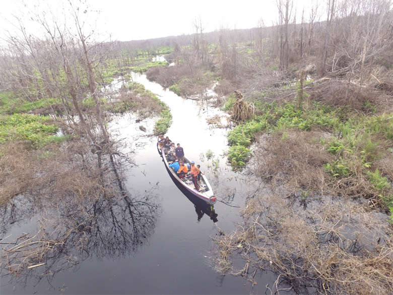
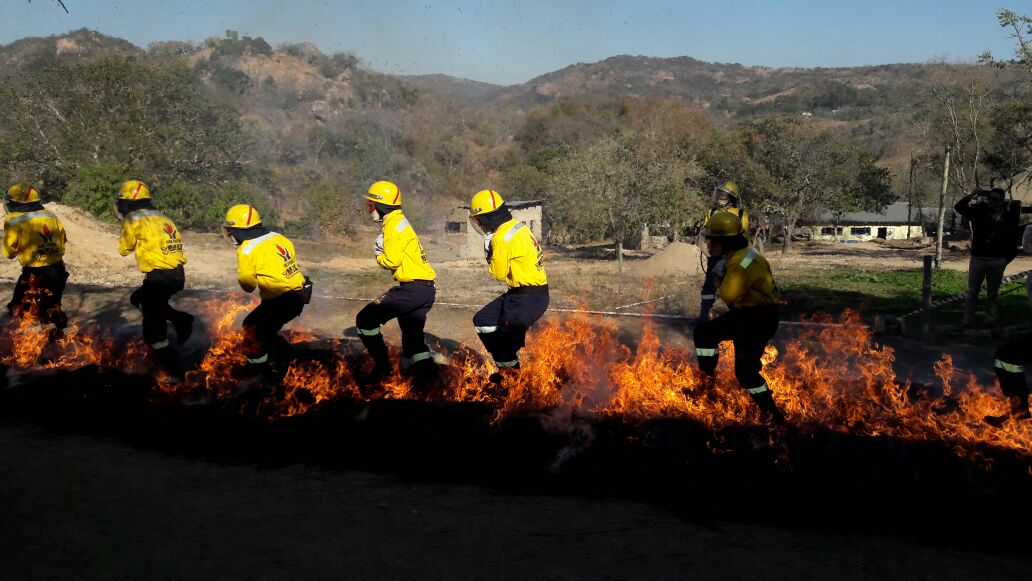
GIZ Bioclime has carried out capacity building activities for FMUs, Regional Disaster Management Agencies (BPBD) and forest firefighters (Manggala Agni). These stakeholders were trained in monitoring hotspots and preparing reports for submission to decision makers in their respective work institutions. In addition, ground checks have also been conducted to monitor the spread of fires, with data secured reported to FMUs and forestry offices as the basis for prevention measures.
Reference source:
http://www.thejakartapost.com/news/2015/10/16/769-hot-spots-sumatra-still.html
Contact:
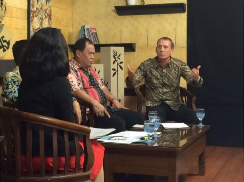
Dudy Kurnia Nugraha Adi
GIS and Data Management