LAND USE
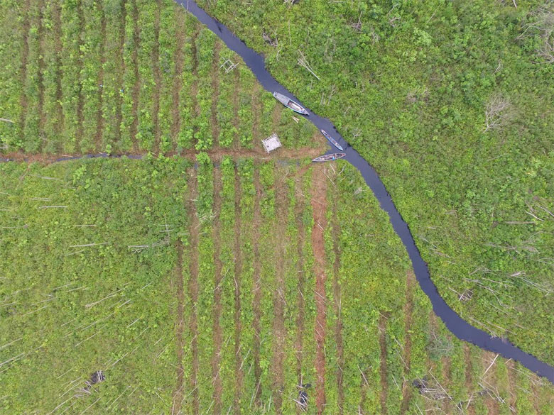
Land-use change from natural vegetation to any other use typically results in habitat loss, degradation and fragmentation with a direct impact on biodiversity. Even if biodiversity may sometimes be greater in mixed landscapes, it generally decreases along the spectrum of land use from primary forest to regenerated forest, plantation forest, and agricultural land.
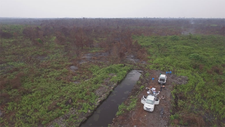
Of particular concern is deforestation, which is followed by the conversion of land to agriculture or other land uses. Ongoing deforestation reduces the diversity of life forms by causing extinction and loss of genetic diversity in remaining organisms. Even if some forest is left standing, the resulting fragmented landscape can no longer support all previous environmental functions. Hence, with regard to biodiversity, the most beneficial outcomes are generally achieved when deforestation can be halted or slowed.
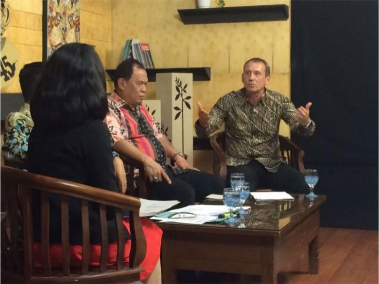
The relationships between land use and biodiversity are fundamental to understanding the links between people and their environment. Local and national economies tend to prioritize development that leads to deforestation and degradation. Achieving conservation and development goals simultaneously requires integrated and informed land-use planning, including the participation of multiple stakeholders during the entire cycle of the planning process, and clear rules on how land is allocated and distributed.
Climate change and biodiversity loss are two of the greatest challenges we are facing today. Tropical forests are highly biodiverse and provide a multitude of ecosystem services, including carbon sequestration and storage. Land-use planning is key to effective long-term protection of the environment and can be considered as ecosystem management in specific regions. This means land-use decision making and land management practices should take the best available understanding of an ecosystem’s functions and natural processes into account.
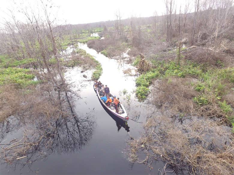
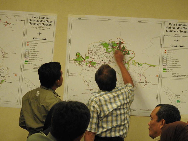
In order to support decision making for land-use planning, BIOCLIME places particular emphasis on the identification of forested areas with high carbon storage and high biodiversity. One output of the project is to provide relevant, up-to-date and accurate data on identified high conservation value forest ecosystems in the project area paying special attention to spatial data networks and support for Indonesia’s ‘One-Map Policy’. The aim is to integrate forest conservation and habitat connectivity as important cornerstones for land-use planning within the tropical forest landscapes of South Sumatra.
Bioclime works closely with the LAMA-I project, which focuses on Land Use Planning for Low Emission Development. LAMA-I provides a platform for developing a multiple stakeholder decision-making process to establish land-use plans for sustainable development, which can reduce greenhouse gas emissions from land-based activity while simultaneously maintaining economic growth within specific zones of a landscape, or across an entire landscape.