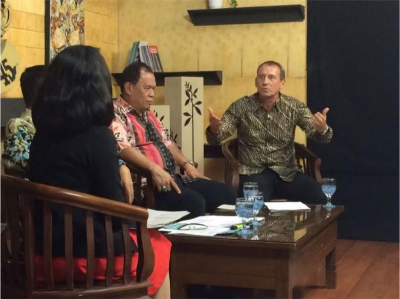
DATA MANAGEMENT
Providing baseline data is a key component in supporting governments at the regional and national levels in their efforts to reduce carbon emissions. BIOCLIME focuses specifically on forestry sector data created through a spatial approach in order to mainstream Indonesia’s ‘One Map’ policy.
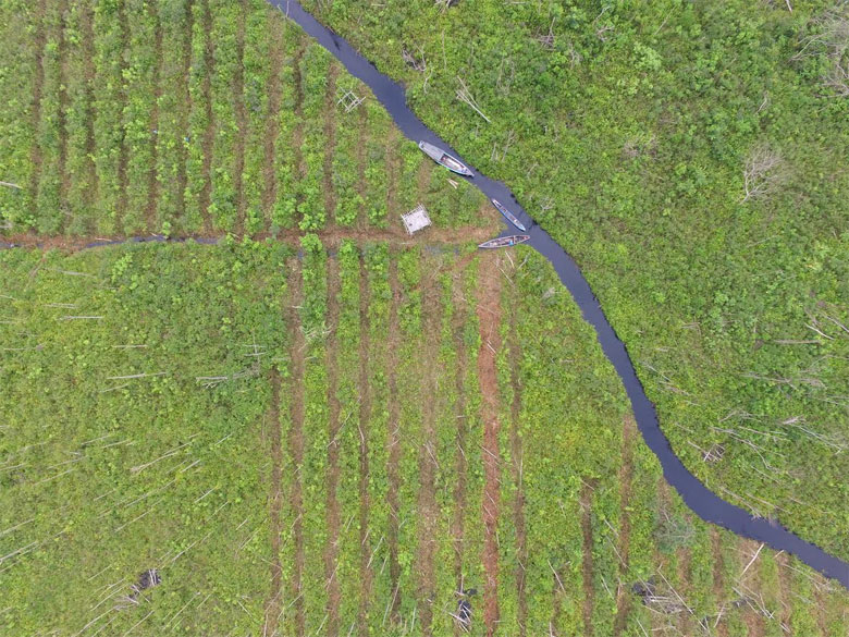
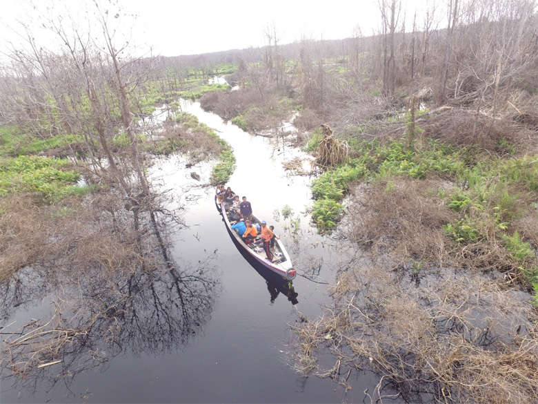
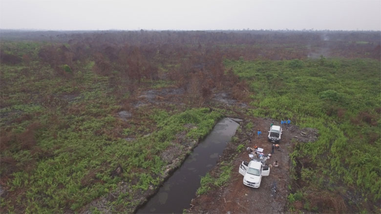
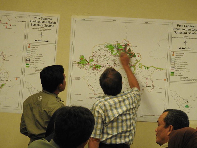
BIOCLIME partners receive support in the form of capacity building, and knowledge and technology transfer, enabling them to compile and manage baseline data on pilot project areas in South Sumatra by using time series Landsat imagery of land cover and land-cover changes, and by using high resolution imagery like SPOT and RapidEye of selected areas for biomass estimation and carbon measurement as the basis for an MRV system. Spatial data is also used to assess and extrapolate biodiversity data based on terrestrial inventories of carbon and biodiversity including wildlife in high biodiversity areas.
BIOCLIME also focuses on supporting different data networks, including the South Sumatra Forestry Spatial Data Network (Jaringan Data Spasial Kehutanan (JDSK). A project aim is to support regional government forestry offices in setting up a collaborative and transparent spatial system managed by district- and provincial-level forest management units (FMUs). Through these efforts the project contributes to a transparent spatial planning system, managed by regional development planning agencies (Bappeda), the offices responsible for spatial planning.
The project also supports the provincial government in complying with the national carbon emissions reporting system. It is crucial, therefore, to introduce and implement a monitoring, reporting and verification (MRV) system, using new technologies including LiDAR data. In order to monitor land-use changes and fragmentation in a timely manner, in addition to supporting SPOT-6 and SPOT-7 imagery, the project is also supporting the introduction of drones for monitoring certain areas.