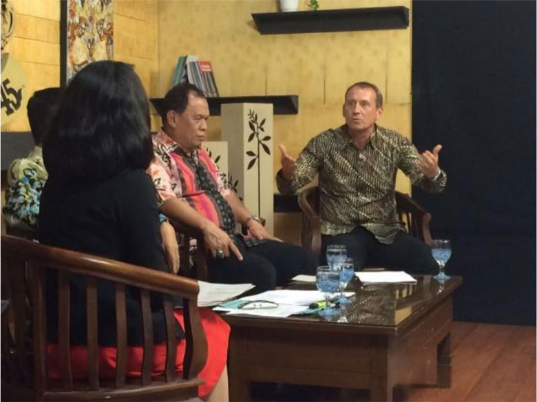
Un-Manned Aerial Vehicle (UAV) Training for Land Management Institutions in the Province of South Sumatra
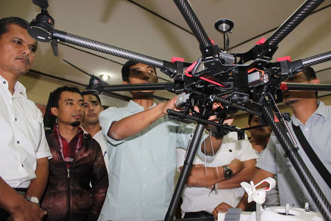
GIZ BIOCLIME conducted Un-manned Aerial Vehicle (UAV) or drone training with the South Sumatra Province Bappeda and forestry offices. Two training sessions were conducted with basic training taking place in February 2015 and advanced training in June. These sessions were part of the second phase of the GIZ BIOCLIME Drone Program designed to support forestry sector Monitoring Reporting and Verification (MRV). The first sessions involved 30 participants from Bappeda, the forestry office, BKSDA, BPPHP, BKP, BPKH, Sembilang National Park office, the Berau district public works office and FMUs. This introductory training focused on the functions of drones and how to fly them. The advanced training from 11- 14 June 2015 focused on Training of Trainers (ToT) and the establishment of a core drone team for South Sumatra. These sessions involved 8 people from Bappeda, the forestry office and FMUs.
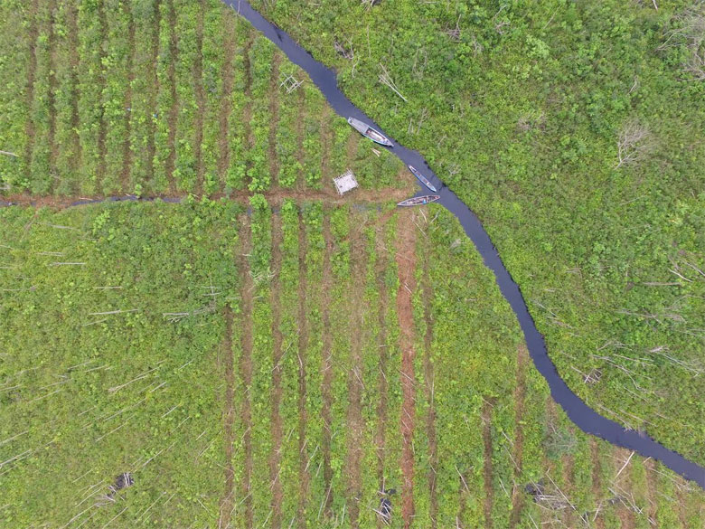
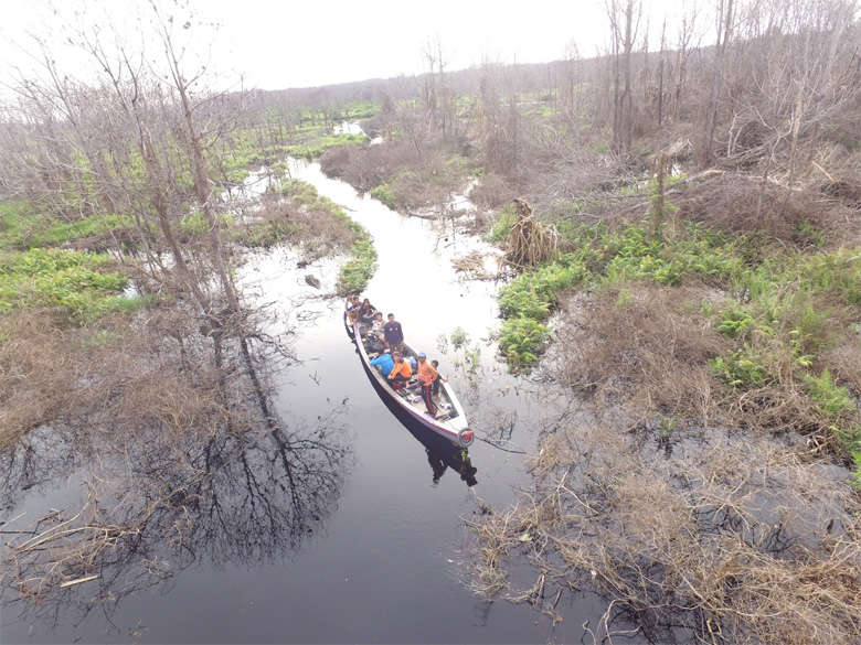
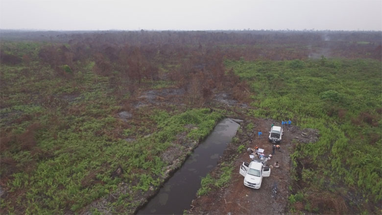
Drone training was designed to facilitate key government partners in the use of up-to-date technology for improving their systems and for use in their regular activities. The main training concept was to provide a baseline map for a forestry sector MRV system using detailed information from Phantom Vision+ and Octocopter S-1000 multirotor drones. Rudimentary knowledge and flying techniques were taught during the first sessions from 26 – 27 February and continued with the second sessions on ToT from 11 – 14 June. Training modules were designed to detail the purposes of implementing surveys, outlining survey concepts, creating flight plans and using auto-pilot, and practicing teamwork in the collection and analysis of data for mapmaking. The three outputs from this training were: (i) the creation of protocols for designing detailed surveys using drones, including flight plans and mapmaking, (ii) video documentation training, and (ii) the establishment of a core drone team in South Sumatra.
The lesson learned from this training was that the team could fly drones but should continue by creating and implementing Standard Operating Procedures (SOPs) for further implementation. This could begin with the creation of checklists, the application of drones for specific missions, and reporting to advisors or management. In addition, drones could also be used for monitoring program activities in the forestry system, i.e. for providing baseline maps for forest inventory, rehabilitation, illegal-logging or encroachment patrolling etc.