FOREST FIRE VULNERABILITY MAP FOR SOUTH SUMATERA 2015
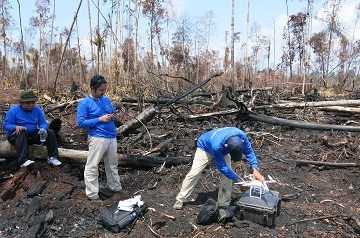
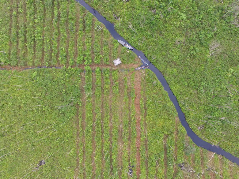
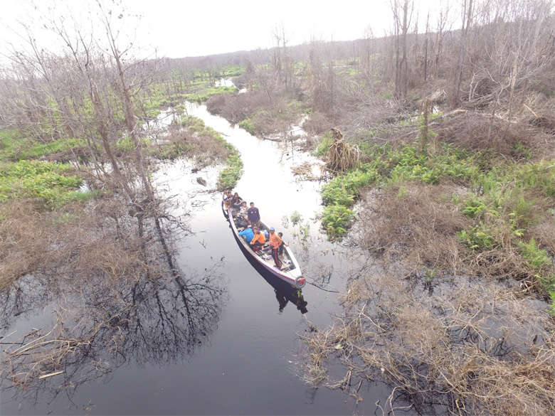
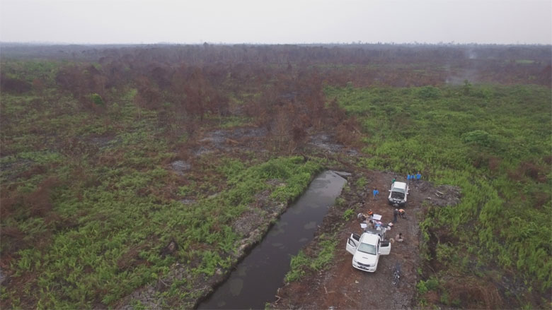
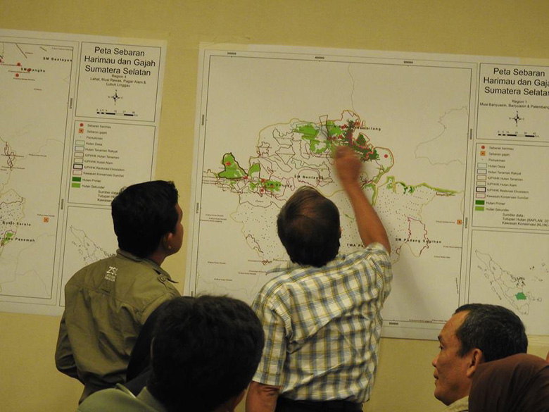
In-collaboration with the national and provincial government, GIZ BIOCLIME and KPH Forum have updated the forest fire vulnerability map. BIOCLIME is currently on process to validate the map with data from fire spots and burnt scars. The data were collected using GPS and Drones and analysed through a GIS system for imagery validation.
Contact: dudy.adi@giz.de