Monitoring Changes in Land Use and Land Cover
Locations: Musi Rawas, North Musi Rawas, Musi Banyuasin and Banyuasin.
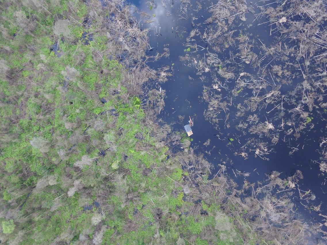
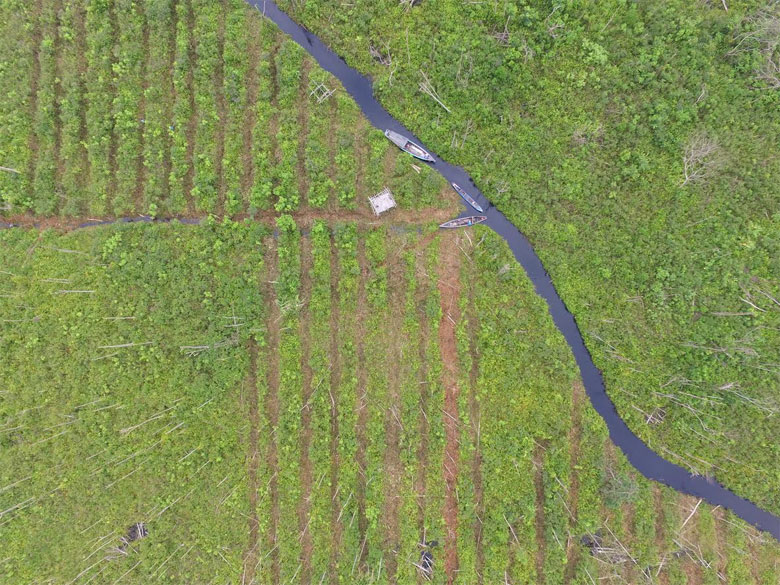
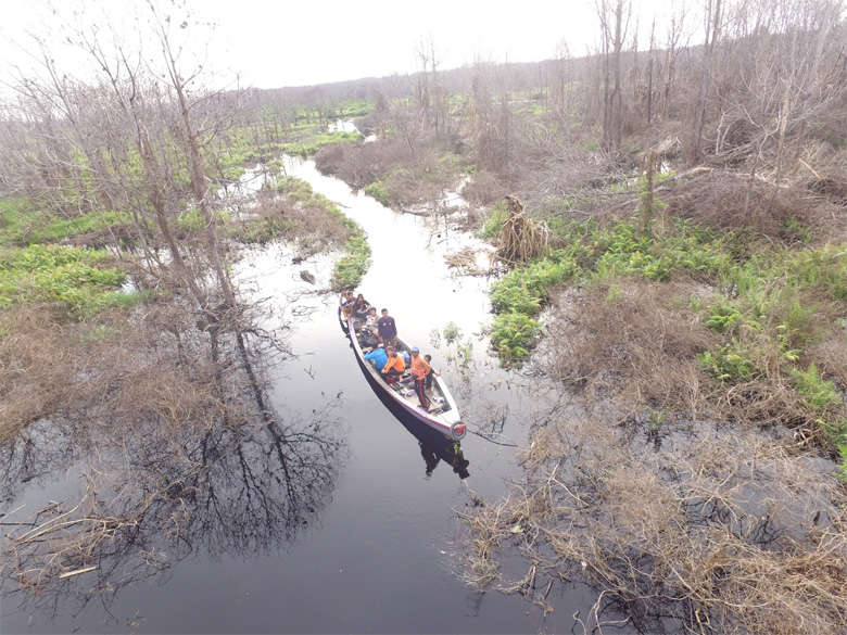
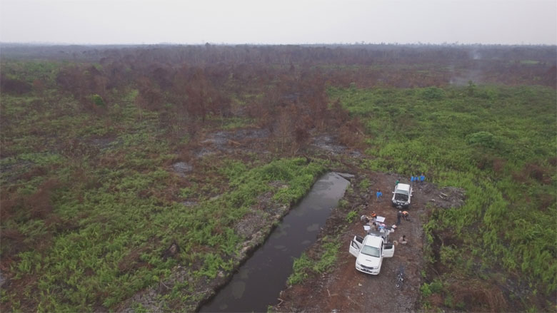
GIZ Bioclime, in collaboration with Remote Sensing Solution (RSS), provincial forestry office Forest Management Units (KPH) and community representatives, conducted land cover and land-use change monitoring from base map data made in 2015. Five locations - representing montane, dipterocarp, peat swamp and mangrove forest ecosystems - were surveyed between 18 April and 2 May 2016. The land change monitoring also combined mapping technologies with GPS and un-manned aerial vehicles (drones).
read full report