


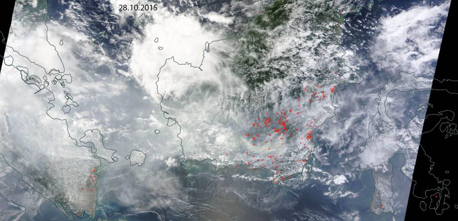
Haze and Hotspots Maps 28 Oct 2015
The last couple days, East Kalimantan experienced rain on most of the province. So today for Samarinda, the haze has been decreasing significantly even though not completely gone. However, today, there are some hotspots detected over East Kalimantan area, mainly located on East Kutai District as shown on the haze and hotspots map. 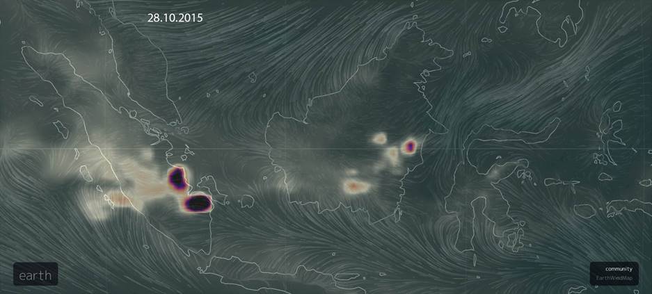
From the wind and carbon monoxide concentration map from today, it shows that the hotspots on East Kalimantan has value of 1.84 ppmv (parts per million volume, unit for air pollutant) while, the fires on South Sumatera produces 9.35 ppmv.
Source: http://earth.nullschool.net/#current/chem/surface/level/overlay=cosc/orthographic=-247.76,0.09,2048