Support to REDD+ demonstration activities is a key feature of the FORCLIME programme, providing decision-makers with experience of how REDD+ can be implemented “on the ground”.
A forest reference emission level (FREL) is a benchmark for assessing a country’s or region’s performance in implementing REDD+ activities. FORCLIME supports three districts in Kalimantan in developing their FREL, namely Kapuas Hulu (West Kalimantan), Berau (East Kalimantan) and Malinau (North Kalimantan).
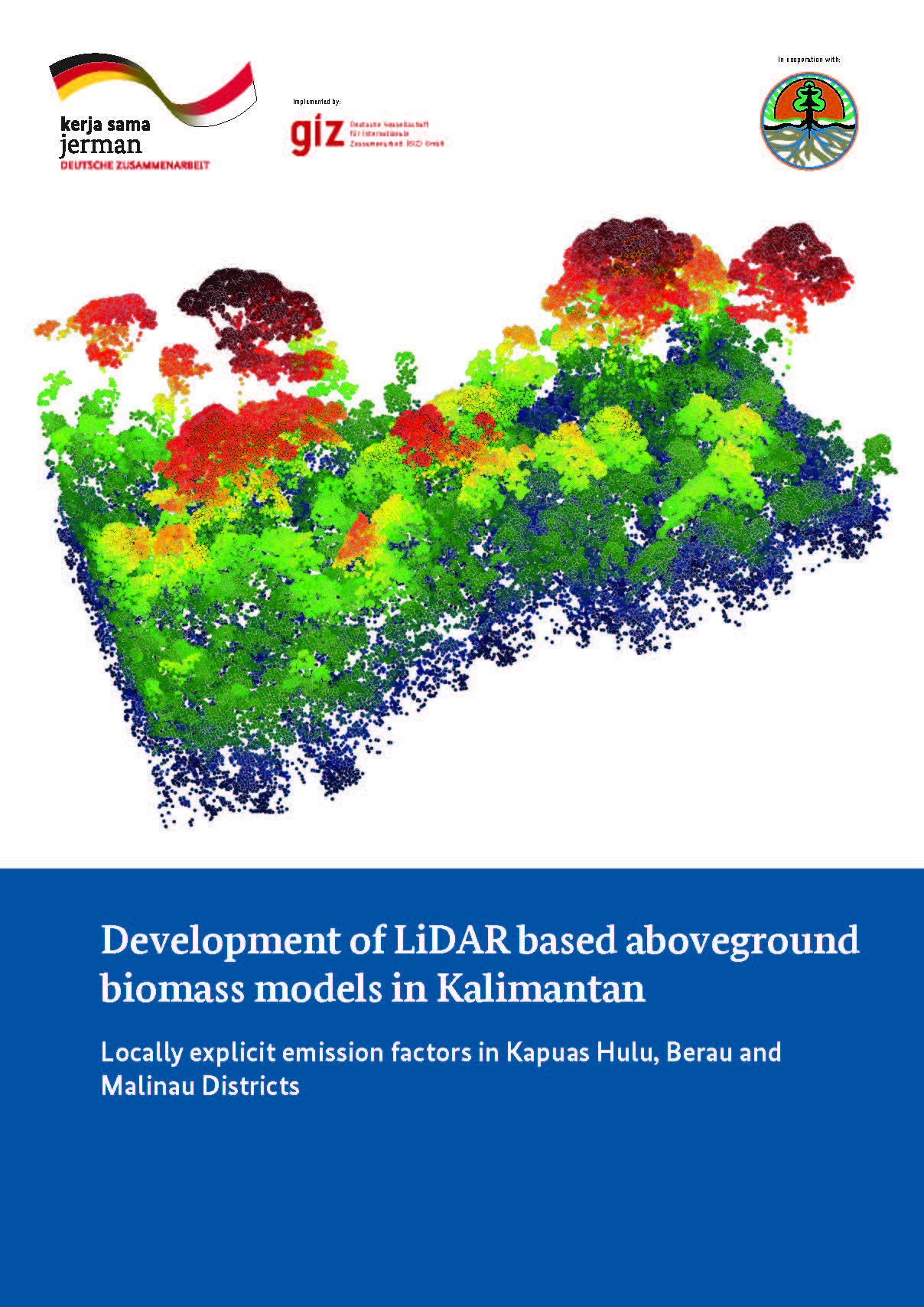
One of the parameters needed to develop a FREL are emission factors to quantify the loss of carbon in case of degradation or deforestation. Due to very specific characteristics of forest ecosystems in different regions and hence greatly varying carbon stocks, it is reasonable to develop locally explicit emission factors, as so far their forests are categorized as same forest types in the national system. To increase accuracy of forest carbon measurements in the future, FORCLIME has developed locally explicit emission factors for above ground biomass (AGB) in all three pilot districts based on data captured with Light Detection And Ranging (LiDAR) sensors.
FORCLIME has now published the technical report on this study. The full publication can be downloaded here
For more information, please contact:
Stephanie Wegscheider, Development Advisor for GIS and Remote Sensing