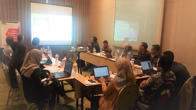
FORCLIME had supported the Ministry of Environment and Forestry (MoEF) to conduct a followup training on radar-based burned area mapping using the European radar satellite Sentinel-1 of which the data is available free of charge. This training is one of FORCLIME’s efforts in forest fire prevention. 15 participants from the MoEF [(Directorates of Forest Resources Inventory and Monitoring, the Bogor training centre-Pusdiklat LHK)]; the National Institute of Aeronautics and Space-LAPAN; participated in the 3-day training on 22-24 July 2019 in Sentul (West Java) to learn about Sentinel-1/SAR/SNAP principles, practical processes, classification of radar data, accuracy assessment and how a radar-based burned area product can be integrated with a burned area map based on optical data.
Radar-based burned area products can improve the ability to detect burned areas and complement the burned area map based on optical Landsat data produced by the Ministry of Environment and Forestry. Radar data are almost weather independent and can penetrate clouds and smoke which pose the main limitations for the availability of optical satellite images.
For further information, please contact:
Wandojo Siswanto, Strategic Area Manager, Forest Policy
Robbie Weterings, Adviser for GIS
Mohamad Rayan, Adviser for Cross Cutting Issues