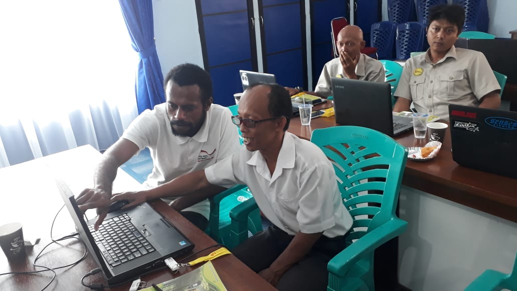
The Kapuas Hulu District Government in collaboration with FORCLIME conducted a training on Geographic Information Systems (GIS) for local planning officials and members of the Kapuas Hulu Geoportal on 7-10 August 2019 in Kapuas Hulu, West Kalimantan. The purpose of this training is to increase the knowledge and capacity of BAPPEDA technical staff and members of the Kapuas Hulu Geoportal regarding the use of GIS within the one map policy process in Kapuas Hulu District. The training participants, 30 people, were representatives from the BAPPEDA, the Spatial Planning Office, the Agriculture and Food Service, the Resettlement and Environmental Service, the Community and Village Empowerment Service, the Land Affairs Division, the Regional Finance Agency, the Bina Marga Office, the District Tourism Service and the Regional Disasters Management Agency.
In his remarks, the Head of BAPPEDA of Kapuas Hulu Regency, M. Nasir, stated that the participants were expected to be able to assist the relevant agencies to map administrative boundaries for villages in Kapuas Hulu.
After the training, the trained officials may request assistance from FORCLIME during spatial data processing.
For further information, please contact:
Klothilde Sikun, Coordinator Kapuas Hulu district and Adviser for GIS in Kapuas Hulu
Gayus Josep L Yumame, intern student from Cenderawasih University
Fidel G Lopulalan, intern student from Cenderawasih University